About
Too many tabs, one planner
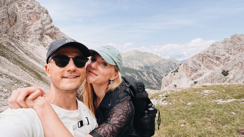
Hi, I'm Ēriks. I'm from Latvia. In July 2026 my wife Aleksandra and I walked the Alta Via 1, from Lago di Braies to Alleghe. Five days. A hailstorm on the first afternoon. One very good tiramisu.
Why this exists
Planning it was the hard part. By spring I was living in browser tabs, hut emails and WhatsApp chats. Which huts are open in July? How long is the walk from one to the next? Who answers email, and who only picks up the phone? So I started building the tool I wanted, before we left.
What it does
Dolomites Planner puts 510 mountain huts and 369 bivouacs on one map. Pick a start and an end. Say how many hours you want to walk each day. It splits the trek into stages, with hours and metres of climbing for each one. Where a hut takes bookings online, it links you straight there.
Where the data comes from
The map starts from OpenStreetMap. Then we check it. We write to the huts in Italian or German and fix what they tell us: opening dates, beds, a hut that became a restaurant. It is slow work. It is also the part that makes the plan true.
Notes from the trail
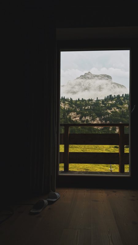
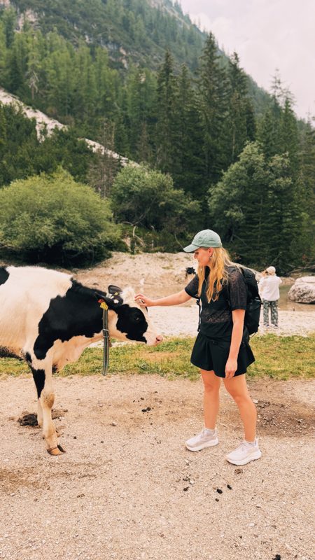
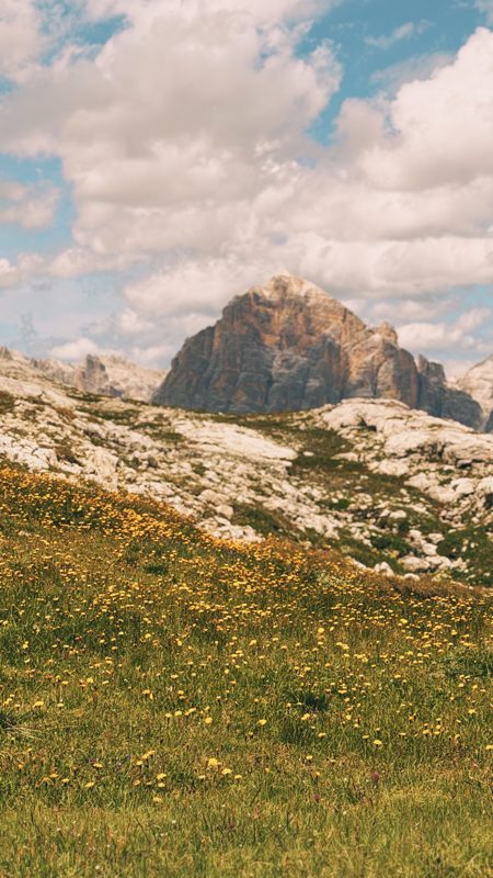
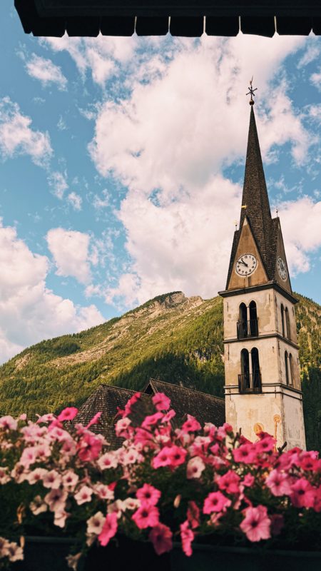
Who we are
Dolomites Planner is an independent project from Latvia. The planner is free while we build it. Have an idea for it, or want to work together? Hut, guide, creator or brand, write to [email protected]. We read everything.